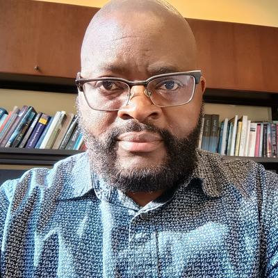
Hello Mastodon, an #introduction.
I'm a geospatial scientist with a PhD in Earth System and Geoinformation Science. I work in remote sensing and #GeoAI, mostly on drought, vegetation, and land — in Africa and the US Great Plains.
I'll mostly post maps, model results, and #GoogleEarthEngine and Python tutorials (#geopandas, #rasterio). I'm also building a national GIS data portal for #Cameroon.
#RemoteSensing #GIS #EarthObservation #Python
Mbongowo J Mbuh
@mbongowo@mastodon.social
Geospatial scientist (PhD, Earth System & Geoinformation Science). I build EO pipelines and GeoAI models for drought, vegetation, and land-governance problems — fusing satellite, sensor, and atmospheric data into something you can act on. Google Earth Engine, Python (geopandas, rasterio), deep learning. Partner at AereoVistas. I post maps, model outputs, GEE tutorials, and open questions about reading the planet from space. #RemoteSensing #GIS #GeoAI #EarthObservation