
Replying to @krahabors@toot.lv
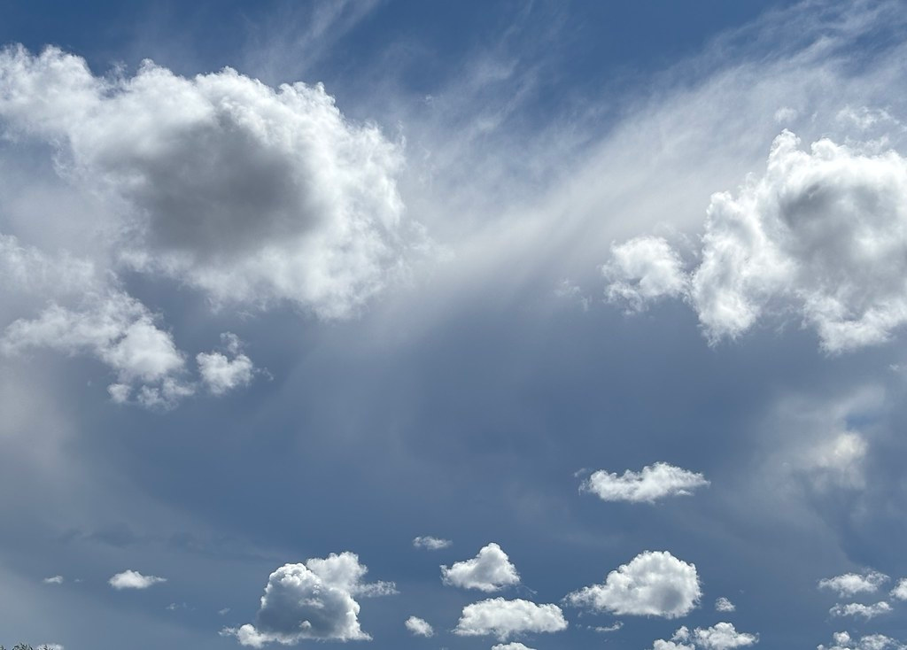
@krahabors Vakar un šodien bija skaisti mākoņi, cik nu bija laiks skatīties.
Labākais ātrais foto gan šāds, daļēji tāpēc, ka koki-krūmi bija priekšā.
@richlv@mastodon.social
openstreetmap.org is mighty cool
Replying to @krahabors@toot.lv
@krahabors Vakar un šodien bija skaisti mākoņi, cik nu bija laiks skatīties.
Labākais ātrais foto gan šāds, daļēji tāpēc, ka koki-krūmi bija priekšā.
Replying to @sortova@redwombat.social
@sortova Do you need imagery or a map?
A map would be almost 100% OpenStreetMap - CoMaps, OsmAnd, OrganicMaps all work fully offline.
Worth checking beforehand - how well the target region is mapped in OSM. There could be a possibility to trace something from imagery and have it end in maps, if there is some time until the trip.